|
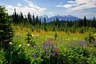
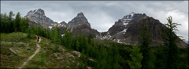
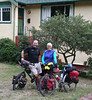
| Karen on her way to Abbott Peak - the Illecillewaet Glacier to the left |
 |
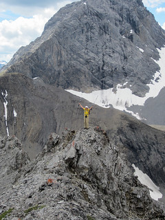
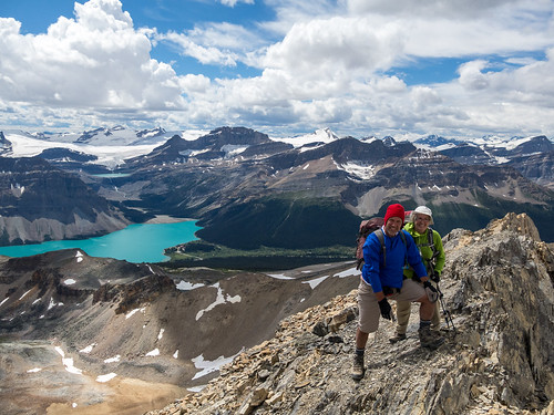
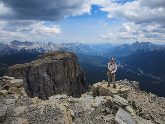
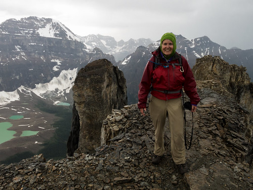
| Coming back down from the Abbott summit |
From 1894 until 1925 Wheeler was, in one way or another, involved in surveying and making maps of Western Canada. In those days photography came to play a major role in mapping the mountains -- traditional rod and chain methods were simply too expensive. Photo-topographical techniques back then involved taking a panoramic series of mountain landscape photos from a control point that offered excellent views of the surrounding area. The cameras used were bulky and heavy, and the images were exposed on 6 x 4 inch plate glass negatives. Wheeler and the surveys he led produced hundreds and hundreds of these plates.
 | |
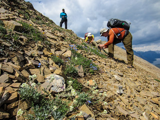
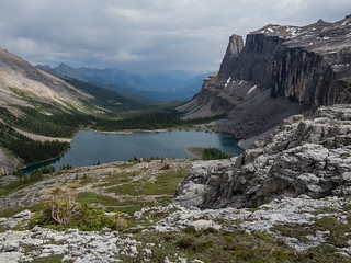
| Mary going up Mt. Abbott Wheeler's control station for the 1901 images was below on the wide ridge. |
I have been lucky enough for the past few years to be involved with a dedicated group of researchers at the Mountain Legacy Project (mountainlegacy.ca) whose goal is to re-photograph as many of the 140,000 historic plates as possible. Most of my field work has been in the Rocky Mountains -- a truly lovely area -- but not the mountains of my heart. Growing up in Revelstoke BC, with Mt. Revelstoke National Park and Glacier National Park as my playground, the mountains of my heart are surely the Selkirks.
 |
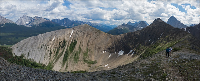
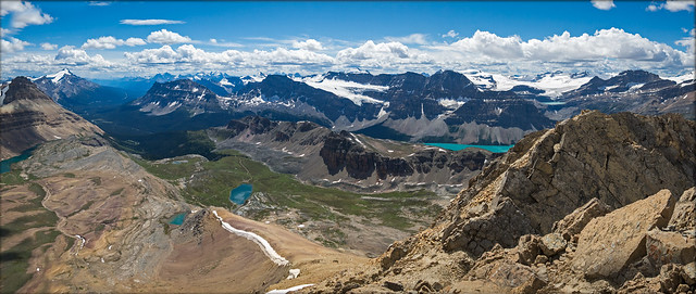
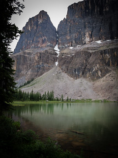
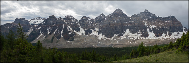
| Mt. Abbott on the left and Afton in the middle. The Bonney Glacier to the right. |
In 1901, when Wheeler was assigned to survey this area, he would have travelled up much the same route as we did -- making his way out of the interior cedar and hemlock forest into Engelmann spruce and subalpine fir around Marion Lake, and finally up into alpine tundra along the ridge. Wheeler's goal was not the peak of Mt. Abbott. His control point was somewhat lower. He must have selected it because of the spectacular view it commanded. He took images looking south west towards Revelstoke, north towards the Hermit group, and east toward the Sir Donald group. This last image set, shown here, is my favourite -- the differences between Wheeler's 1901 photo and the 2011 repeat are astounding. For example, look at the extent of the Illecillewaet Glacier (on the right in both images) in 1901 compared with 2011 -- certainly a huge retreat.
 |
| Mt. Sir Donald and the Illecillewaet Glacier: A.O. Wheeler, 1901 |
 |
| Mt. Sir Donald and the Illecillewaet Glacier: Mountain Legacy Project, 2011 |
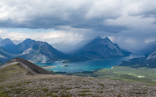
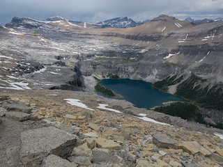
I was pleased to make it up to Wheeler's Abbott ridge control point, thinking what a march it would have been for Wheeler and his crew as they schlepped 25 kilograms of camera, tripod, glass plates, and survey equipment with them. My own pack was heavy enough! However, Mike and I went on past Wheeler's control point and gained the summit of Abbott after a wonderful scramble amongst huge chunks of granite. Glaciers, neves, icefields, and high ridges opened out in front of us as we ascended. Some in our group continued from the summit of Abbott on to Afton, but Mike and I decided to return back via the main ridge. I had fun scrambling down some of the airy steps I used scrambling up!
All in all an excellent day spent with a fine group of folks in some of the most glorious mountains in the world. I think Arthur Wheeler would have been proud of his legacy -- not only as co-founder of a club dedicated to preserving and promoting Canadian mountain culture and self-propelled alpine pursuits, but as the creator of stunning photographs that let us look back and compare today's mountain environments with those of over 100 years ago. Here's to you Arthur, and to the other mountain surveyors whose work all those years ago informs us so eloquently today.
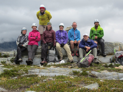 |
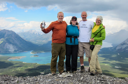
| Karen, Diane, Mike, Krista, Mary, Dave, Frank, and Ken. ACC-VI Section: Our motto is "Come back alive, Come back friends, Respect the land, Have fun, Get to the Top." |
Map of our route to Mt. Abbott:
View Mt. Abbott via ridge in a larger map